Current VERBI intern Nora Holzbach is leaving the team this week, to finish up her Master’s degree in Geography, but not before taking MAXApp for a spin during her current university project about urban gardening. For this blog entry we asked her to talk about her experiences in conquering some of the many urban gardens of Berlin with MAXApp up her sleeve:
“What’s the plan?”
Urban horticulture is the talk of the town right now – but what does it actually mean? For my university project I wanted to find out and look at a few example to to search for the real meaning of the phenomenon. Luckily I am in Berlin and the German capital is known for its chameleonic garden projects and the charismatic people standing behind them. This makes it easy for me to collect impressions and discover the individuality of a variety of projects. I am going to use the free MAXQDA companion app “MAXApp” on my iPhone to track different types of garden uses, the roles of people involved, and the property characteristics. MAXApp allows me to record my findings via photos and audio or video recordings and I will add additional information via memo. Afterwards I will transfer the data to MAXQDA to use it for further analysis.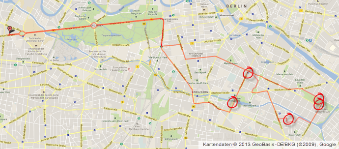
“Where to start?”
After consulting the relevant literature and web sources, I settle on five gardening projects that I want to take a closer look at. The plan: I will jump on my bike and take a tour through the capital – with nothing but a city map and my iPhone with MAXApp in my pocket.
All of the chosen gardens are relatively close to each other in the neighborhoods Friedrichshain-Kreuzberg and Neukölln:
- Wild flowers meadow at Baerwald Street
- Prinzessinnengarten (princess garden) at Moritz Square
- Kids’ Garden Neukölln
- Childrens’ farm at Görlitzer Square
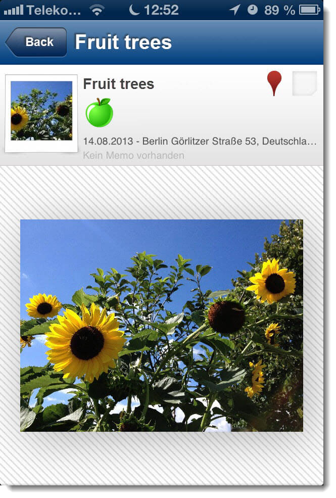
- Fruit-bearing trees at Görlitzer Square
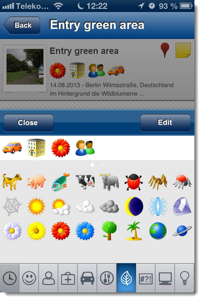
Before I head out, I first prepare MAXApp for the task by taking a look at the emoticode®s and choosing specific symbols to match values in three categories to characterise the gardens: stake-holders, types of usage, and surroundings. For every category I choose emoticode®s that I want to use to code the photos with. ![]() for example represents the area’s residents,
for example represents the area’s residents, ![]() and
and ![]() illustrate different types of residential areas, and
illustrate different types of residential areas, and ![]() symbolizes the cultivation of food.
symbolizes the cultivation of food.

“On the road”
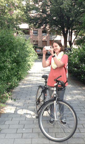
August 2013 is here, finally I am going to start my project! Not even a cloudy sky can decrease my enthusiasm, because today I am on my way through Berlin to learn more about urban gardening. I look forward to spend the day in extensively planted meadows or intensively and organically cultivated fruit and vegetable gardens.
My first stop provides me with an experience I would not have expected in a city like Berlin: the wild flowers meadow in Baerwald Street is there to offer food and shelter to insects – and it surely does! I manage to take a picture of a bee, just in time before it continues on it’s way to another blossom.
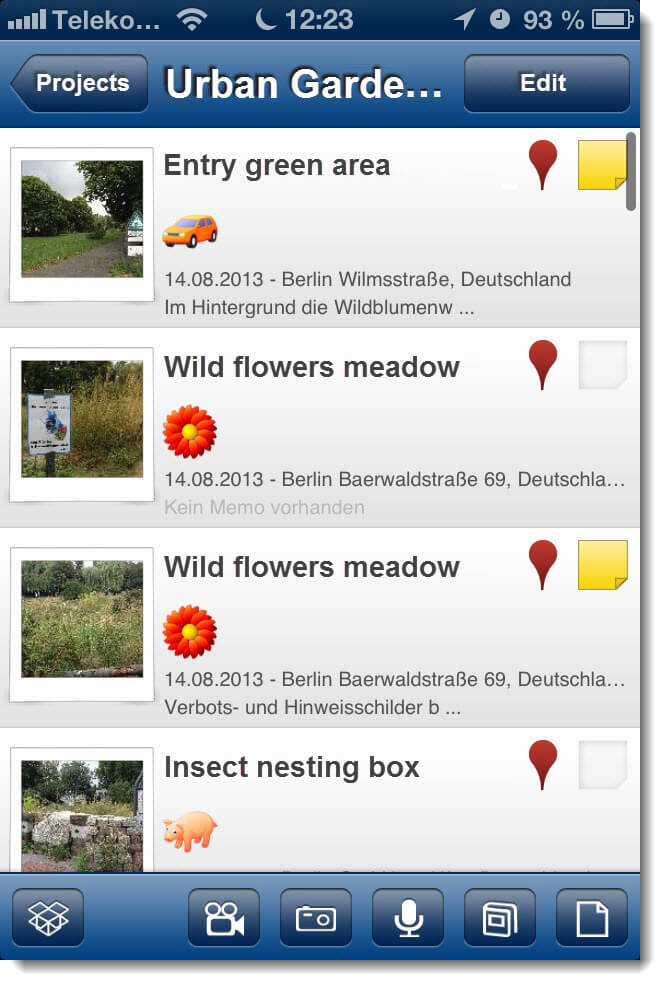
Wanting to spend some time just watching the buzzing all around me, I have to make sure I don’t forget I am on a mission. Every photo I take is immediately saved to my project Urban Gardens in Berlin. New images need to be named adequately and coded with the appropriate emoticode®s. The document Bee is coded with the  icon because it was selected to symbolize the keeping of animals. When I chose this icon, I was thinking of bunnies or chickens, but of course bees count, too!
The thoughts that cross my mind while biking from one project to the other, get added to the photographs and audio files as memos. As a geographer I love the fact that every picture I take is automatically tagged with a geo link. This will make it easy for me to trace my route and link my data to Google Earth.
icon because it was selected to symbolize the keeping of animals. When I chose this icon, I was thinking of bunnies or chickens, but of course bees count, too!
The thoughts that cross my mind while biking from one project to the other, get added to the photographs and audio files as memos. As a geographer I love the fact that every picture I take is automatically tagged with a geo link. This will make it easy for me to trace my route and link my data to Google Earth.
“At the desk”
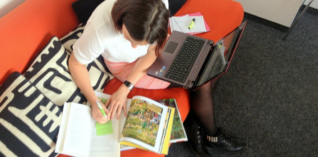
Back at my desk I export my project Urban Gardens in Berlin to Dropbox and import it into MAXQDA. All of my photos appear in MAXQDA with their names and the corresponding memos, codings, and geo links. Ready for the analytical work to get started.
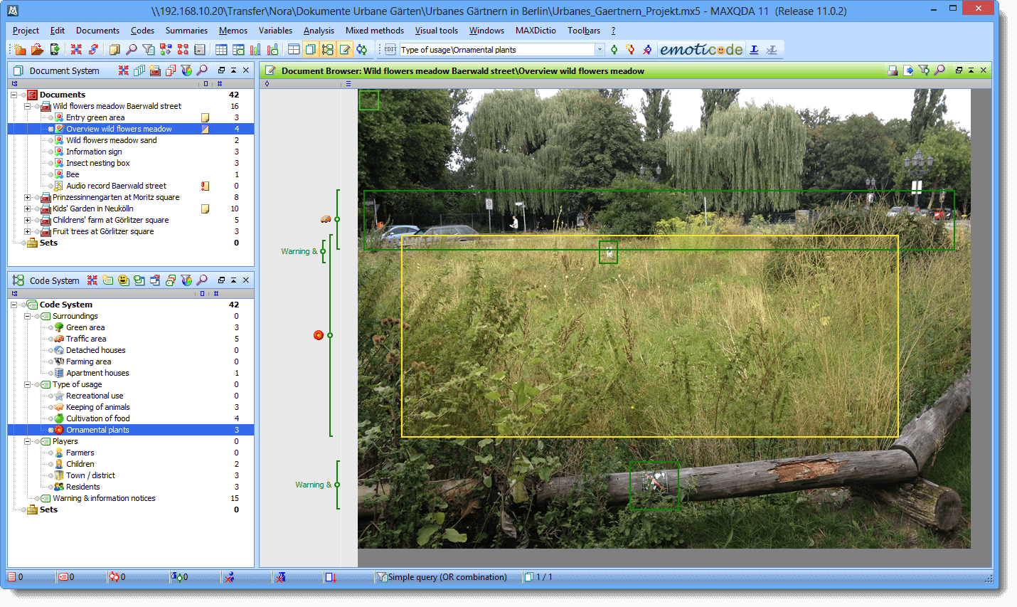
At first I organize all of the documents into five document groups – one for each of the five visited projects. After that I proceed to organize my code system according to the three categories stakeholders, surroundings, and types of usage. While doing so I also change the default names of the emoticode®s to something that fits my projects categories better. This way the apple is turned into cultivation of food or the tree into a green area.
Set up like this, I will now continue my project and surely add codes, memos and documents along the way.
“What next?”
When I started my urban gardening project I thought I already knew what urban gardening meant. But after my bike trip around Berlin I have to admit that I changed my mind: there is a huge variety in the kinds of urban gardening, the stakeholders involved, the types of space, and how they are used. With the help of the collected data, I can immerge myself deeper into the subject. MAXQDA will help me analyze not only the pictures made on my trip but also videos and blog entries from web pages.